

Preview
Faculty Mentor
Chris Badurek
Creation Date
4-2023
Description
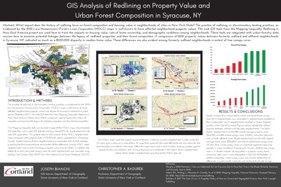
What impact does the history of redlining have on forest composition and housing value in neighborhoods of cities in New York State? The practice of redlining, or discriminatory lending practices, as evidenced by the 1930’s era Homeowners Owners Loan Corporation (HOLC) maps is well known to have affected neighborhood property values. The web GIS tools from the Mapping Inequality: Redlining in New Deal America project are used here to trace the impacts on housing value, rate of home ownership, and demographic conditions among neighborhoods. These tools are integrated with urban forestry data sources here to examine potential linkages between the legacy of ‘redlined’ properties and their forest composition. A comparison of 2021 property values between formerly redlined and affluent neighborhoods in Syracuse, NY indicated as much as a $100,000 disparity in median home value. These differences are also evident among formerly redlined neighborhoods in extent of tree canopy cover.
Keywords
GIS, Syracuse New York, Redlining, HOLC, urban forestry, Transformations